Kokopelli’s Trail, Loma, CO: In Pursuit of Solitude
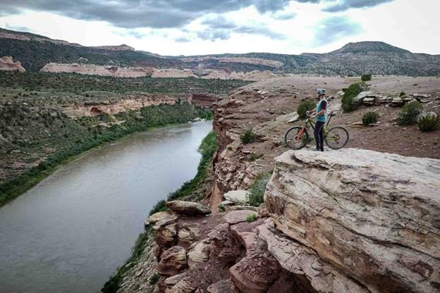
Early, Joey. View of Kokopelli Trail Grand Junction . COPMOBA. Accessed April 13, 2025. https://www.copmoba.org/epic-trails.
Stretching 142 miles between Loma, CO, and Moab, UT, Kokopelli’s Trail is one of the earliest publicized examples of a backcountry mountain biking route. The unification of Kokopelli’s in 1989 by the Colorado Plateau Mountain Bike Trail Association helped popularize a new brand of distance cycling – bikepacking - and inadvertently made the American Southwest one of the best-known bikepacking destinations in the world.
When mountain bikes became commercially available in the early 1980’s, wealthy baby boomers from coastal California began to explore the west on their new machines enticed by the vast landscapes and inexpensive accommodation. Moabites recognized the economic opportunity afforded by mountain bike tourism and by the late 1980’s Moab, UT, had become a premier cycling destination. While the highly publicized Slickrock Trail was leveraged to draw visitors in, the vast network of 4x4 roads surrounding the town, relics of a defunct uranium industry, began to see increased use among cyclists. Nearby Grand Junction, CO, was experiencing similar backcountry traffic in the late 1980’s. Grand Junction Bureau of Land Management officials observed illegal mountain bike use in the Black Ridges Wilderness Study Area threatening to undermine ecological research. BLM area manager John Singlaub sought to protect the wilderness without alienating cyclists and proposed BLM recreation planner Carlos Sauvage build a cycling route on non-wilderness lands along the Colorado River. Lacking funding, the BLM turned to mountain biker and Grand Junction lawyer Timms Fowler to help plan and coordinate the effort. Long dreaming of a unified route across the remote region, Fowler jumped at the opportunity to aid in the construction.
Beginning in November of 1988, Sauvage and other BLM personnel began driving and mapping the dozens of dirt roads abandoned by the uranium industry between the route’s planned start point in Loma, CO, and terminus in Moab, UT. Meanwhile, Fowler set up meetings with bike shops in Grand Junction and Moab to secure volunteer support for the project. After identifying a course on 4wd tracks, BLM workers planned ten additional miles of singletrack trail to access scenic vistas and ensure an engaging riding experience. A volunteer building effort commenced in the spring of 1989 under the newly formed Colorado Plateau Mountain Bike Trail Association and after six weekends of construction, the 142 mile long Kokopelli’s Trail was completed. On May 6th, 1989, the Hopi Flute Clan for whom the trail was named held a ceremony under elder Ebin Leslie in Cisco, UT, the halfway point, to officially open Kokopelli’s to the public.
Kokopelli’s quickly generated interest among mountain bikers. The high level of community engagement guaranteed considerable public awareness of the project and increased ridership. Proximity to major throughfares like Interstate 70 and Highway 191 made for easy access to the trail. The federal officiating in route creation and surveying resulted in an abundance of maps and backcountry planning resources for prospective users. The trail’s position on BLM land made it popular among bikepackers, backcountry cyclists who pursue multi-day, self-supported rides, because of the relaxed camping regulations imposed on remote public lands. The vastness of the landscape Kokopelli’s Trail traverses and the solitude afforded by its 142 miles in length made for an experience difficult to capture elsewhere and secured the Southwest as a stronghold for backcountry mountain biking.
Images
Early, Joey. View of Kokopelli Trail Grand Junction . COPMOBA. Accessed April 13, 2025. https://www.copmoba.org/epic-trails.
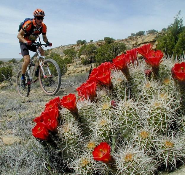
The Kokopelli Loops. Go Fruita. Accessed April 13, 2025. https://gofruita.com/the-kokopelli-loops/.
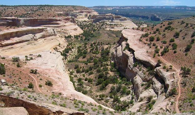
Wick, Bob. McInnis Canyons National Conservation Area. July 13, 2013. Flickr. https://www.flickr.com/photos/mypubliclands/9323589206/in/photostream/.