The Humboldt River and the Inevitable Railroad
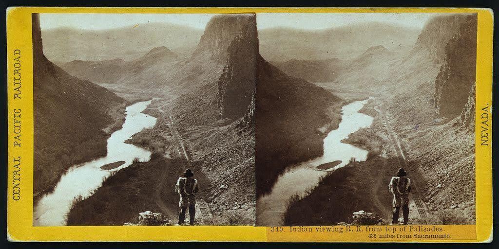
Alfred A. Hart’s photo neatly captures the relationship that the United States had with Indigenous nations in the 19th century: persistent encroachment on and abuse of Native land.
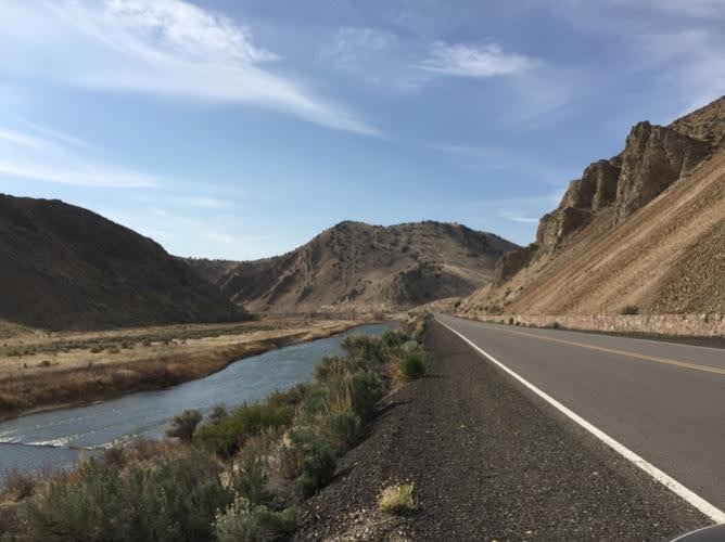
Winding through the arid region of modern-day north central Nevada, the Humboldt River provided resources to support communities of a few hundred people. Punodungahnivain, or “Place where the house is” in Western Shoshone, was an area at the mouth of the South Fork River, between modern-day Carlin, Elko, and South Fork, that was home to Western Shoshone.
Water—and therefore the river—is sacred for the Western Shoshone, or “Newe” meaning “The People.” The Humboldt represents an important thoroughfare in ancient and modern trade routes, connecting goods from the Pacific with those in the Great Basin and western Rocky Mountains. The fertile river enabled Indigenous communities to thrive between modern-day Carlin and Elko. Roots and berries grew along the river, attracting birds and animals, and pine nut resources grew in the nearby Ruby mountains. The Shoshones hunted waterfowl, antelope, trout, gopher, rabbit, and beaver.
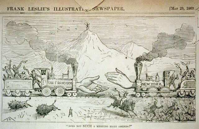
Trappers such as Peter Skene Ogden from the Hudson’s Bay Company arrived in the Humboldt region in the 1820s. They trapped as many beavers as possible in order to make it unprofitable for their competition, nearly wiping out the beaver population for a generation. After the discovery of gold at Sutter’s Mill in 1848, miners and settlers traveled along the Humboldt by the tens of thousands, negatively impacting the environment, depleting finite resources, and disrupting Indigenous lifeways. The California Trail transected Western Shoshone Territory throughout the 1840s through 1860s. Then, in the 1860s, the Central Pacific Railroad began building their Railroad from Sacramento, California, westward towards Utah Territory to join with the Union Pacific at Promontory Summit on May 10, 1869.
By the time CPRR worker Alfred A. Hart took the photo below, dated between 1865 and 1869, natural resources had already been depleted all along the Humboldt. Hart took hundreds of photographs as he traveled with the company, and many of them feature Shoshones. The completion of the railroad brought even more people west, who settled near the tracks in order to benefit from future commerce. These newcomers claimed the most fertile places for themselves and divided up ancestral Shoshone and Paiute lands.
Images