Curtis Edwin Bolton, Founder of Boltonheim, Utah

The winds of time swept the frontier town of Boltonheim, Utah Territory, into historical obscurity. Its founder, Curtis Edwin Bolton, served as postmaster from 1878-1880.
Sent by his wealthy merchant father, Curtis Edwin Bolton sailed to Europe in 1832 to study French and German, leaving his fiancée behind in New York. At twenty-years-old Curtis Edwin Bolton was 5’9” with blue eyes and black hair. He returned stateside in the fall of 1834. As a new convert, he pilgrimaged with the diaspora of The Church of Jesus Christ of Latter-day Saints to the Great Salt Lake Valley in 1848. His first winter, he taught French in the evenings in their bedbug-infested fort. In 1849, Curtis accepted a mission call to serve in France, embarking with a small group of missionaries.
While Curtis labored to translate the Book of Mormon into French in his Paris apartment in 1851, a tangible stillness fell upon the noisy bustling city as Louis-Napoléon Bonaparte’s troops flooded through the streets nearby. On signal, the soldiers leveled their weapons at the innocent bystanders watching out their windows. With an infernal roar of artillery, they bombarded thousands of men, women, and children. After hiding in his apartment for two days, Curtis stepped out, stunned by the destruction of the coup d’état. He resided in France until 1853.
Life pulled him to the frontier desert areas of southern Utah Territory. He led a Fourth of July celebration in Santaquin, rode the rapids in the Muddy Mission, and taught school in Long Valley and Monroe. Popular in local elections, he served as Piute County Clerk and Justice of the Peace, in addition to merchant, miner, and sawmill owner.
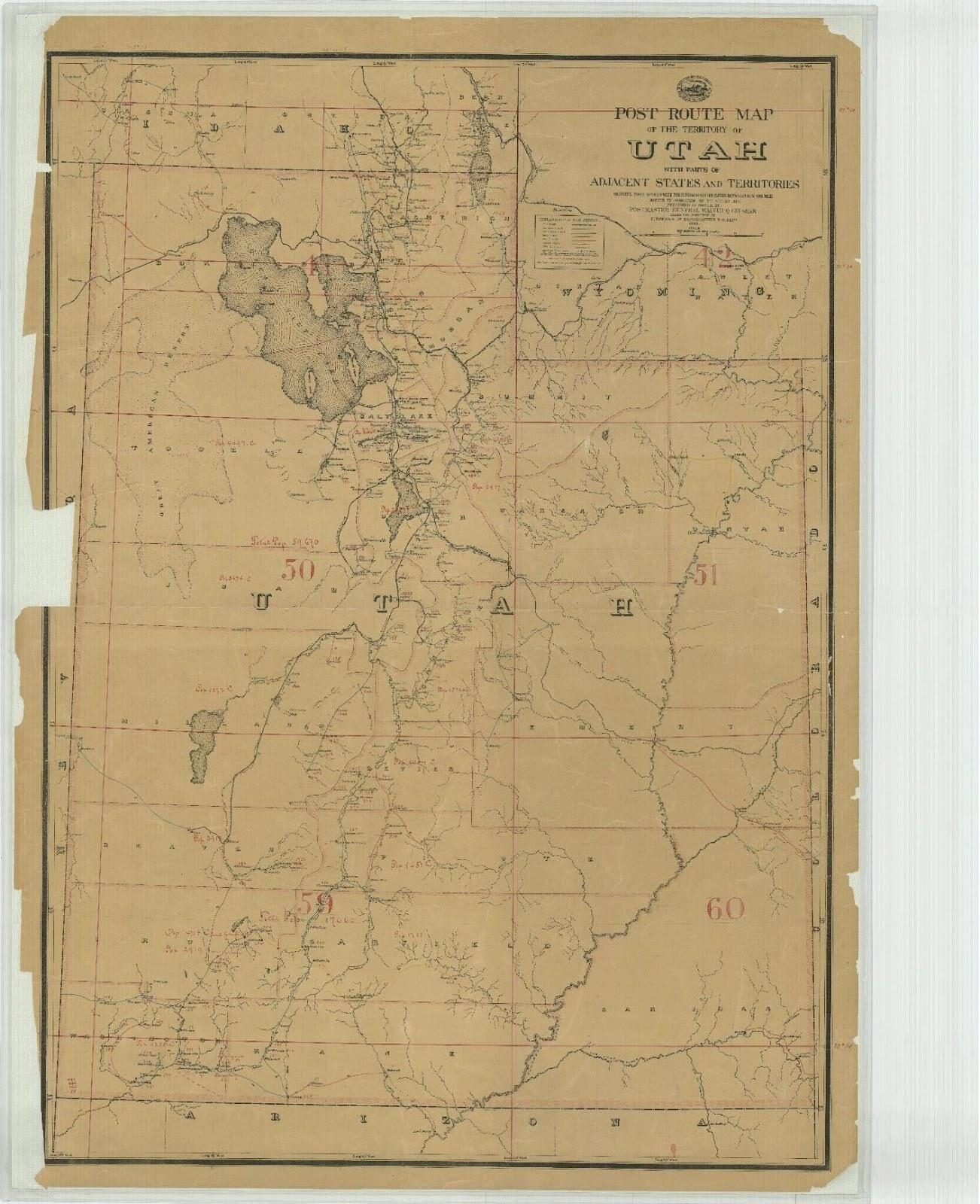
Proud of his robust nature, he boasted he could walk fifty miles in one day. His strength and endurance fueled many of his accomplishments. In his sixties, he homesteaded in Piute County near the Sevier River, where he built his final home, a two-room log house with a shingle roof and board floor. He also dug miles of irrigation ditches and cultivated twenty acres (SLC Land Office, Curtis Bolton homestead file). He founded a town called Boltonheim, meaning “Bolton home” in German, located five miles south of Marysvale, where he served as the postmaster from 1878 until 1880. In those days, a letter only cost three cents for postage.
A stroke in 1883 prompted Curtis to transfer ownership of his homestead to Sarah Howes, in exchange for her pledge of lifelong care. After battling stiffness in his right hand for two years, he stepped down from his role as county clerk at the age of seventy-three. Curtis’s life reflects the adventurous drive that brought many pioneering individuals westward.
Images


Photo courtesy of Piute County and Connie L. Vance.