Mountains, Mining, and Massacre: The History of Oatman, Arizona

Oatman, Arizona circa 1930. Photograph courtesy of and used with permission by Wikimedia Commons. https://commons.wikimedia.org/wiki/File:Oatman_AZ_(NBY_433336).jpg
.jpg)
Free-roaming donkeys, an old mining district, a stop on Route 66, and ties to a famous kidnapping make up the storied past of this semi-abandoned town.
Tucked away in the Black Mountains of Mohave County, Arizona is a community rich with legend. The town was named for Olive Oatman and her family who were victims of the Oatman Massacre in 1851, and it came to life in the following decades as prospectors discovered gold, ore, and other valuable resources in the land. Oatman is home to the three most prosperous gold mines in Arizona: the Gold Road, the Tom Reed, and the United Eastern.
A gold prospector named John Moss was one of the first to discover gold in the area in the early 1860s, but it wasn’t until the 1900s that Oatman really boomed. A hotel and post office were built in 1902 and 1906 respectively, securing Oatman’s status as an official town. The mines brought riches and rapid growth to the community, with Tom Reed mine’s total profit reaching over nine-million by 1922 and the town’s population growing to 10,000 in the same decade.
One of the oddities of Oatman is the population of wild burros (undomesticated donkeys). They were brought in by miners who used teams of them to haul supplies from out of town. Burro labor was a big part of the mining industry, but unlike the prospectors, they never picked up and left town. Billie Jo Moore, long time proprietor of the Oatman Hotel, said in an interview that, “the burros stayed behind and adapted to the desert. Now they are all over these mountains…They wander through the streets, turning over garbage cans and messing in people’s yards.” While they are little more than a nuisance to locals, tourists entertain them with attention, alfalfa pellets, and lots of pictures–burros have become iconic to the town.
Oatman stitched itself into another legend of America when it became a part of Route 66. It was 1926, still bringing in plenty of spoils from the mines, and now gaining further revenue from the new highway. These were the glory days in Oatman; crime was low, employment was high, and people were optimistic about the future. While there was an occasional murder and a tendency for drunkenness in Oatman, it didn’t fall into the expected stereotype of the “wild west.” The isolation of the town, so far away from any other civilization at that time, created a tight-knit group that made new traditions together–like the annual three day long Fourth of July celebrations. When the Great Depression hit in the 1930s, the prosperity and liveliness of the community began to dwindle, and by the time Route 66 went out of commission in the 1950s it was well on its way to becoming a ghost town. Oatman has never been fully abandoned though, and it has been given new life through its performers and curious travelers.
Images
Oatman, Arizona circa 1930. Photograph courtesy of and used with permission by Wikimedia Commons. https://commons.wikimedia.org/wiki/File:Oatman_AZ_(NBY_433336).jpg
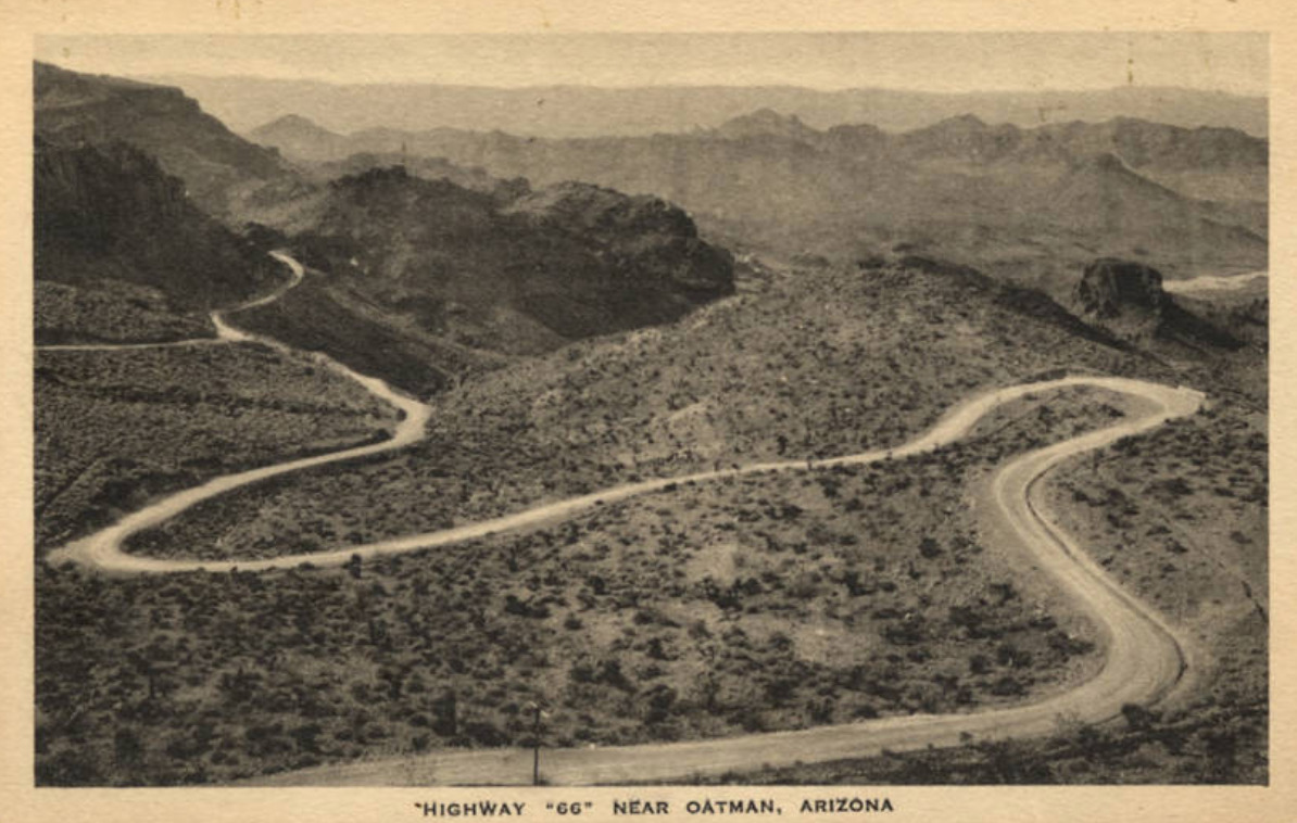
Route 66 circa 1930. Photograph courtesy of and used with permission by Wikimedia Commons. Photograph courtesy of and used with permission by Wikimedia Commons. https://commons.wikimedia.org/wiki/File:Oatman_AZ_(NBY_433336).jpg
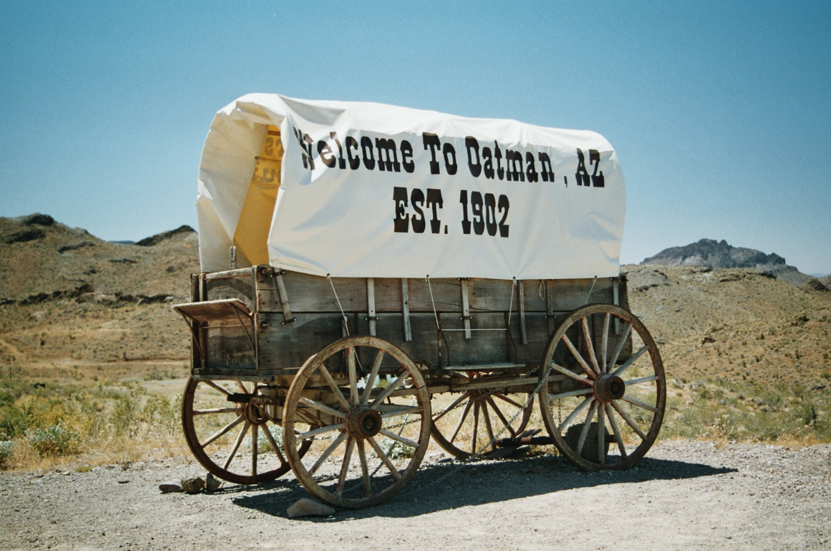
Historical Marker of a pioneer wagon in Oatman, Arizona. Photograph courtesy of and used with permission by Wikimedia Commons. https://commons.wikimedia.org/wiki/File:Oatman.jpg


Donkey roaming the streets of Oatman, Arizona outside of the historic Hotel. Photograph courtesy of and used with permission by Wikimedia Commons. https://commons.wikimedia.org/wiki/File:Oatman-Burros-2_(20709366863).jpg
.jpg)
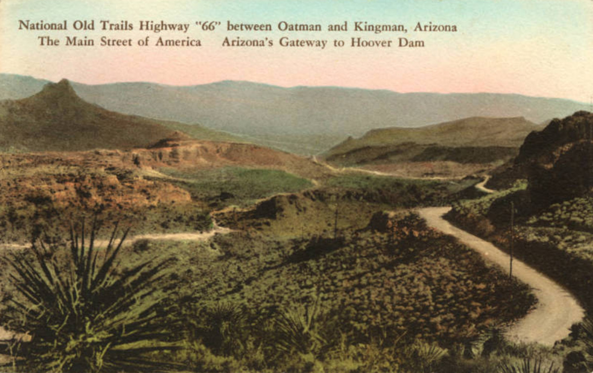
Route 66 Arizona postcard. Photograph courtesy of and used with permission by Wikimedia Commons. https://commons.wikimedia.org/wiki/File:Oatman_AZ_-_National_Old_Trails_Highway_%22%22%22%2266%22%22%22%22_between_Oatman_and_Kingman,_Arizona._The_Main..._(NBY_436234).jpg
.jpg)