Apache County on Route 66
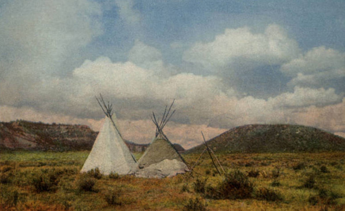
“In Apache Land, Arizona” from the Fred Harvey series. Photograph courtesy of and used with permission by Wikimedia Commons. https://commons.wikimedia.org/wiki/File:%22In_Apache_Land,_Arizona._Fred_Harvey_series._Two_teepees.%22_(NBY_21775)_(cropped).jpg
_(cropped).jpg)
The land on the Arizona-New Mexico border has a storied past–from Spanish trading routes and gutsy American cowboys to railroad tracks and the boom of a brand-new highway.
Apache County, which makes up the northeast region of Arizona, has been occupied since at least 800 A.D. by Ancestral Puebloans (formerly known as “Anasazi”). The first of many Spanish expeditions to the Arizona/New Mexico region lasted from 1540-1542, and began a tumultuous relationship with the indigenous population. In the following years Spanish colonists introduced new cattle to the region, and sheepherding became a popular practice for the next several hundred years. In 1864 the U.S. government issued a forced displacement of the Navajo people known as the “Long Walk.” It was a harsh and unforgiving journey that resulted in at least 500 deaths. One region exiled during the Long Walk later became known as Lupton, one of several unincorporated communities along Route 66.
Famous for its scenic “painted cliffs,” brightly colored roadside shops, and appearance in the 1940 film adaptation of Grapes of Wrath, Lupton was built from a railroad settlement in 1905. The community's namesake, G.W. Lupton, was a trainmaster and owner of the first trading post in the area. In the post-war tourism boom of the early 1950s, the Yellowhorse family of the Navajo Reservation opened their own trading post. The building was painted a striking yellow with red and black painted signage advertising “The Indian Market Place: Deal with the Friendly Navajo.” Although Route 66 had given the area a new life after the railroad revolution, the construction plans for Interstate 40 bypassed Lupton. Like so many other little towns that survived only from the tourist revenue, Lupton soon slipped into obscurity. The shop fronts have not been well-preserved, and there is not much charm left to draw people in, but the sight of the painted cliffs when the sun hits them just right remains as breathtaking as it always was.
Twelve miles west of Lupton and the New Mexico border another now deserted town called Houck has its own storied past. In 1877 James Houck, a horseback-riding mail carrier, established a trading post along his route which ran from Prescott, Arizona to Fort Wingate, New Mexico. The post, which was called “Houck’s Tank,” expanded into a small community which adopted Houck’s name. He lived a fairly successful life, but had a hard time staying out of trouble. He was no stranger to shoot-outs or plots of revenge–and his friendship with the Tewksbury family put him in the middle of a major feud between two ranching families. Known as the Pleasant Valley War or the Graham-Tewksbury Feud, it resulted in somewhere between thirty-five to fifty deaths. His career beyond mail delivery included sheepherding, mining, trading, and a position as the Apache County Deputy Sheriff. Yet he is memorialized now as the namesake for the once lively ghost town of Houck, Arizona.
In late 1926, Route 66 made its way through Houck, attracting new visitors to what had once been nothing more than a trading post. Although becoming a part of Route 66 helped bring a more steady flow of business and traffic, Houck never quite blossomed the way other towns along the highway did. A gas station, a grocery store, a “Pancake House,” and a few other small establishments popped up, but much of it has since gone out of business and become overgrown. In 1998, long after the excitement died down, the Native American Bahá'í Institute opened as a place of worship, training, and gathering place for the Navajo reservation and surrounding communities.
Images
“In Apache Land, Arizona” from the Fred Harvey series. Photograph courtesy of and used with permission by Wikimedia Commons. https://commons.wikimedia.org/wiki/File:%22In_Apache_Land,_Arizona._Fred_Harvey_series._Two_teepees.%22_(NBY_21775)_(cropped).jpg
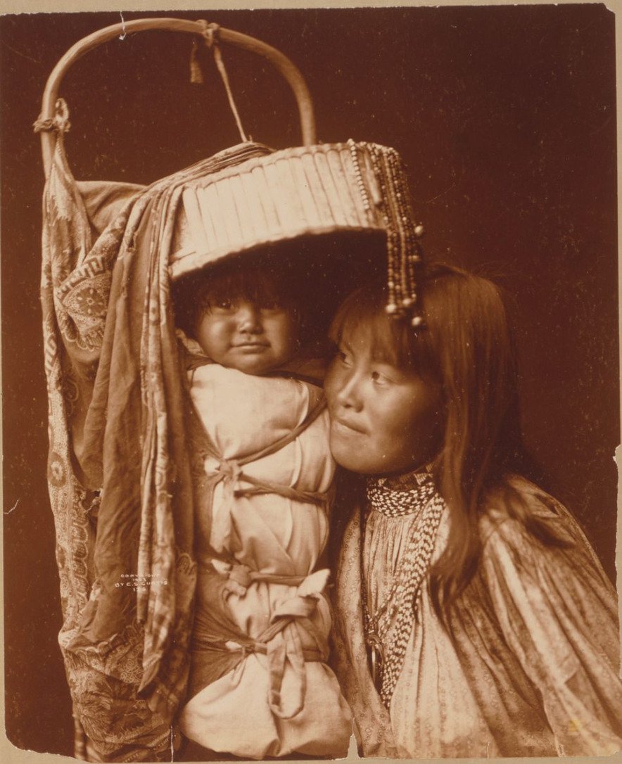
An Apache Mother and her child, 1903. Photograph courtesy of and used with permission by Wikimedia Commons. https://commons.wikimedia.org/wiki/File:Apache_mother_and_child.jpg

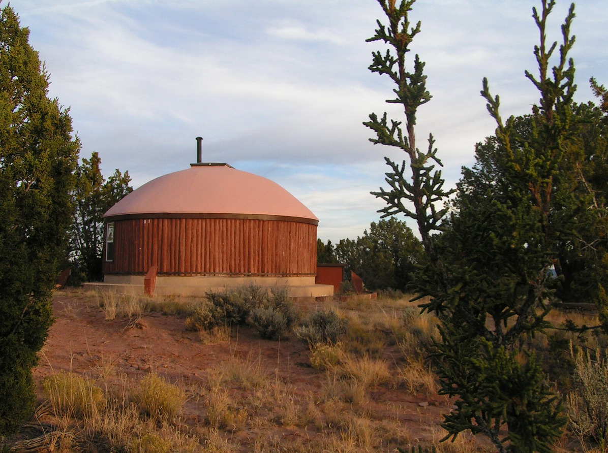
The Native American Bahá'í Institute’s Prayer Hogan in Houck, Arizona. It is one of the few buildings in Houck still used on a regular basis. Photograph courtesy of and used with permission by Wikimedia Commons. https://commons.wikimedia.org/wiki/File:BahaiPrayerHogan.JPEG

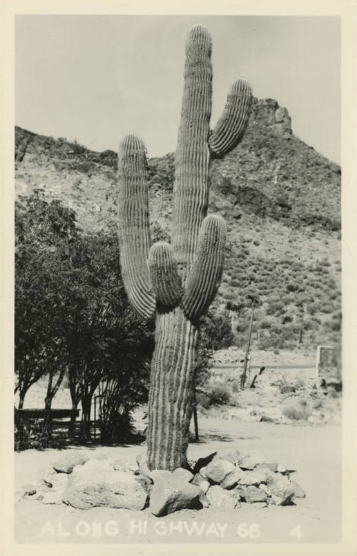
Postcard of a cactus in Lupton, Arizona. Photograph courtesy of and used with permission by Wikimedia Commons. https://commons.wikimedia.org/wiki/File:Lupton_AZ_-_Greetings_From_Lupton_(NBY_425418).jpg
.jpg)
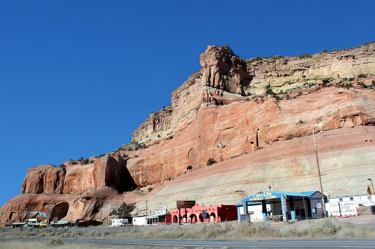
The “painted cliffs”of Lupton, Arizona. Photograph courtesy of and used with permission by Wikimedia Commons. https://commons.wikimedia.org/wiki/File:Lupton_Shops_-_359_Interstate_40_Lupton,_AZ_86508_-_panoramio.jpg
