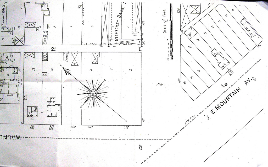
Portion of Map of Fort Collins, Colorado ID: 545 | This file appears in: Bootlegging, Immigrants, and Crime in Prohibition-Era Fort Collins Digitized close up portion of 1910 map of Fort Collins, photographed with permission from Fort Collins Local History Archive, showing “Calaboose” aka the Drunk Tank between Walnut and Jefferson. | Source: http://database.history.fcgov.com/cdm/singleitem/collection/hm/id/1124/rec/9 Download Original File Sourcehttp://database.history.fcgov.com/cdm/singleitem/collection/hm/id/1124/rec/9 "Portion of Map of Fort Collins, Colorado" appears in: Bootlegging, Immigrants, and Crime in Prohibition-Era Fort Collins